SiteScan app · Feature design
Site Scan — Inspect tool
Keeping inspectors safe on the ground.
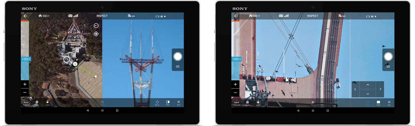
The Site Scan tools enable the user to safely perform previously difficult tasks that required advanced knowledge of flying a UAV.
About the inspect tool
The Inspect tool lets users easily and safely maneuver the copter for close-up inspections of hard-to-access areas, like the top of a cell tower or the side of a high-rise. It does this through paradigms users already know: zoom in/out, drag the map to select a destination, pan to look around, tap to center a point of interest.
Why an inspection tool
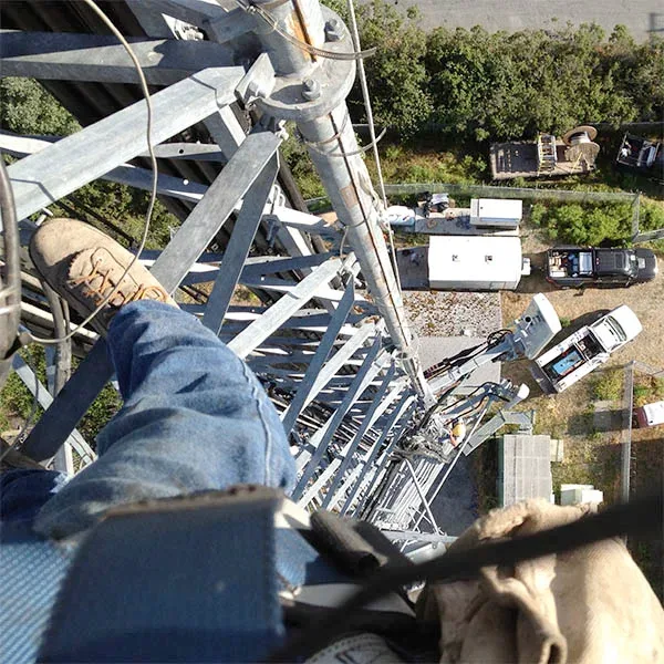
Climbing to inspect large or tall structures is challenging and dangerous — an inspector might climb up to 200ft to assess a faulty cell tower, then have to move around the structure if the damage is on the far side, then climb a second time to fix it. That takes time and puts the inspector’s life at risk with every climb.
Enter the Inspect tool: the inspector flies a drone to and around the cell tower, getting as close as safely possible with a few taps and swipes, taking pictures from as many points of view as needed. Quick, safe, reliable.
The challenge
We needed a tool that was easy to learn and free of frustrating pain points — this would be used many times a day — and, most importantly, gave users the feedback they needed to safely maneuver the copter in space.
Selecting altitude and destination
First iteration
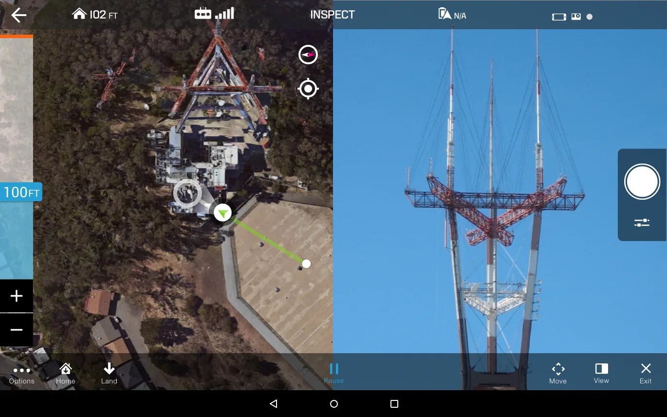
In the first iteration, tapping the screen selected a destination and previewed the copter’s path; long-pressing the destination started the flight, and the user could pause at any point to pick a new destination. Users could also adjust altitude to fine-tune visibility of the object being inspected, then return to full first-person view to take pictures.
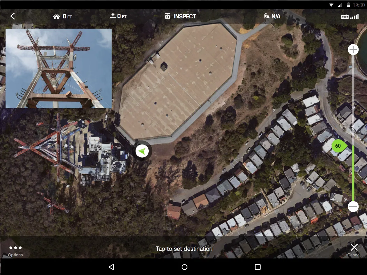
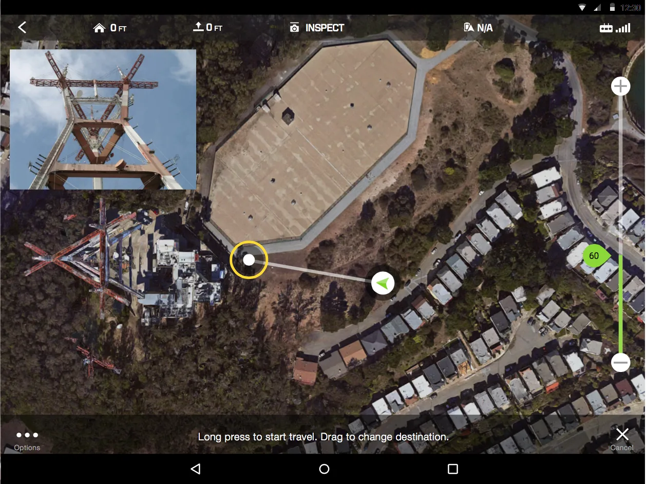
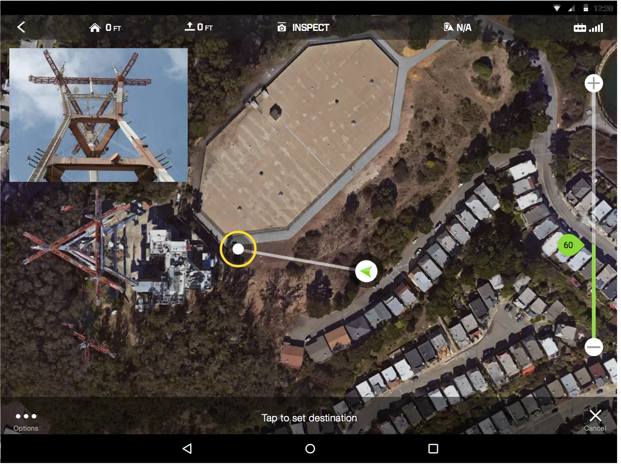
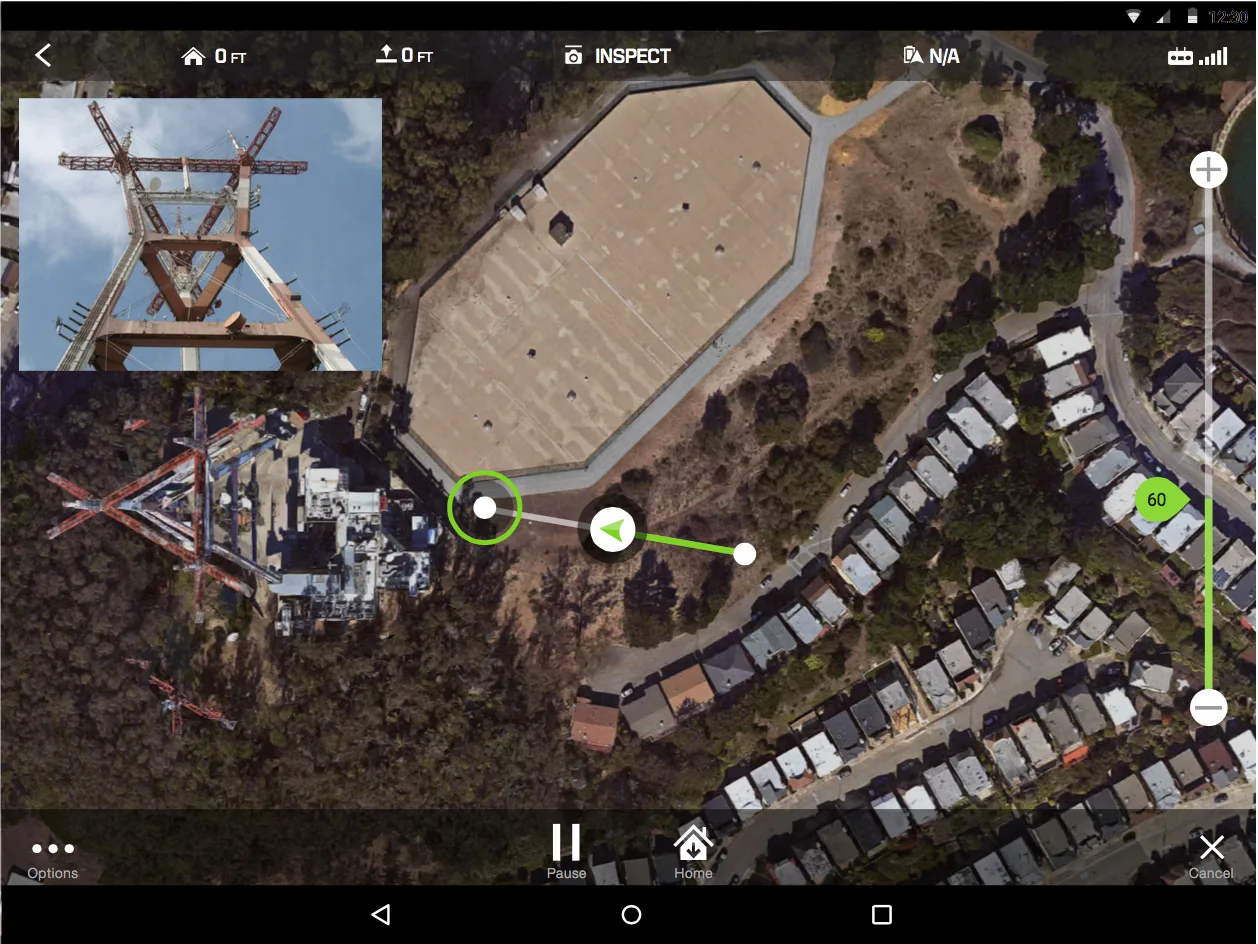
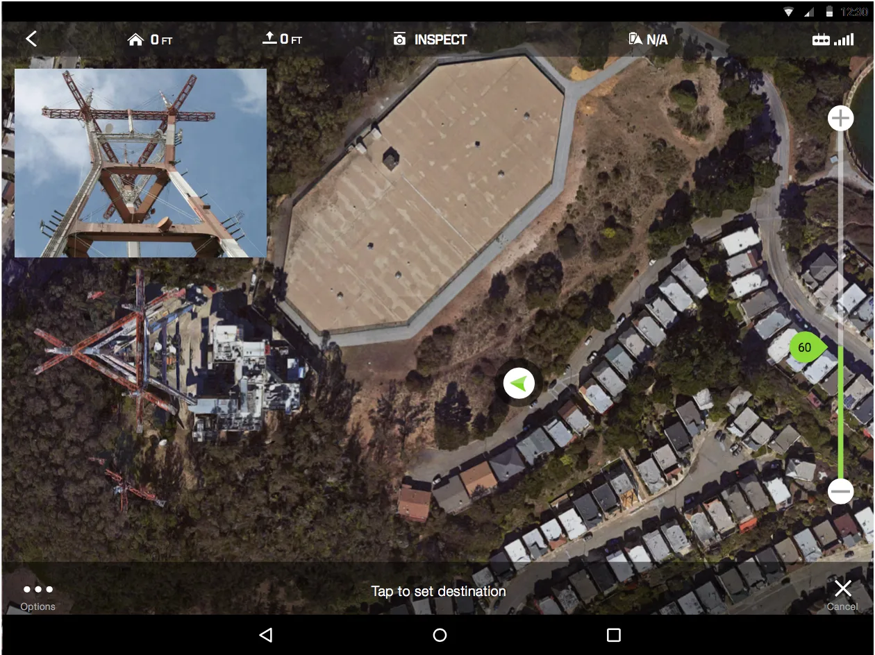
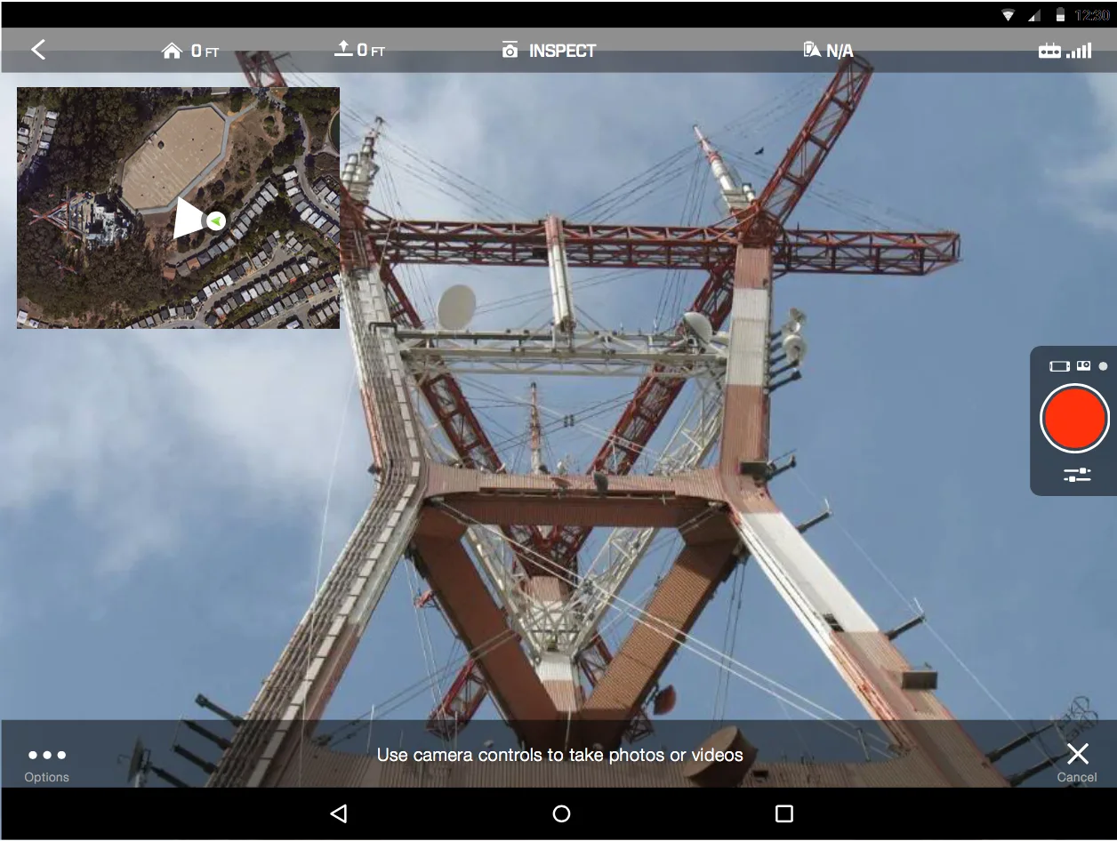
During user testing we quickly learned this wasn’t very intuitive — users had trouble selecting a destination because their finger obstructed it. Of 40 users interviewed, 80% reported this issue, 15% were indifferent, and 5% liked the select-destination paradigm.
Final implementation
Taking note from user testing, the new approach eliminated the pain points users encountered:
- A more intuitive altitude bar with a better readout of the copter’s behavior
- A more familiar destination selector that gives visibility of the desired point of interest
- Added fine-tuning controls for better first-person-view inspection adjustments
Adjusting altitude
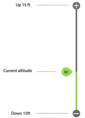
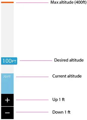
The altitude bar was redesigned for more control and a better feedback loop of the copter’s behavior. The biggest change was a current-altitude indicator that visually showed whether the copter was ascending or descending.
Destination selector
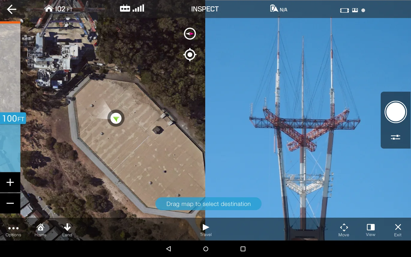
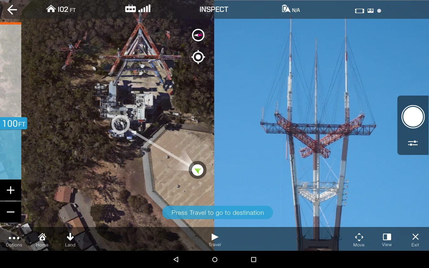
The new destination selector has users drag the map instead of tapping a point, to select the point-of-interest area they want the copter to fly toward — which also let them choose a new destination mid-flight, for example to route around an unexpected obstacle like a crane.
Fine-tuning controls and FPV
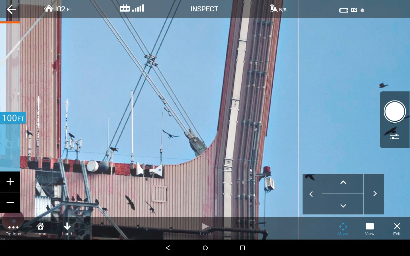
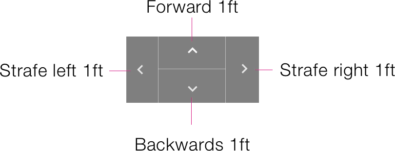
Judging distance between two objects from far away is difficult even for skilled pilots, let alone a novice — and inspecting a structure can be hard from the ground. Fine-tuning controls help users get as close as they need to the structure safely, moving the copter forward, back, and to the sides in 1ft increments — the increment that felt safest to most users after extensive testing. Long-pressing a direction moves the copter incrementally at a slow, safe speed.
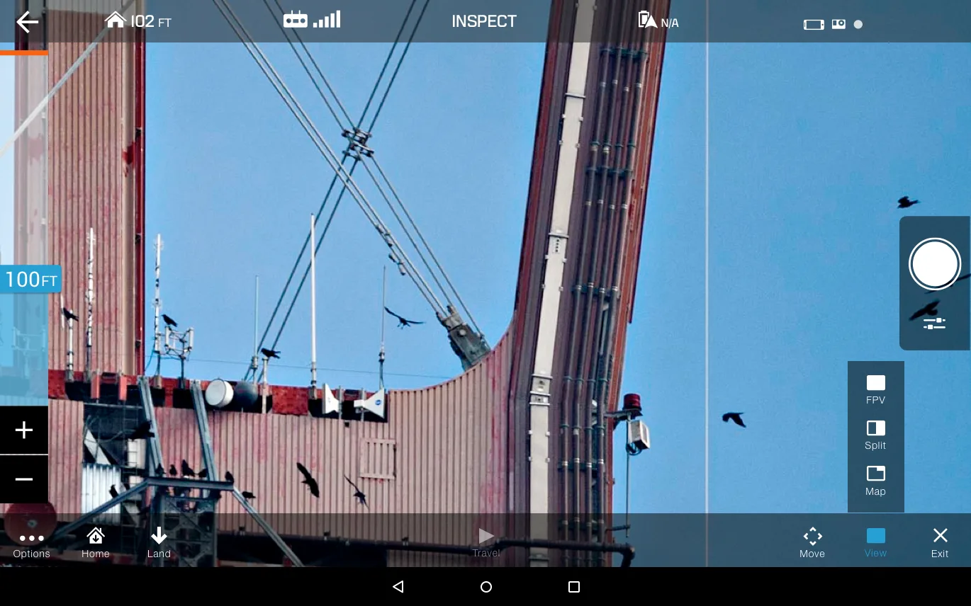
Quickly switching between the map and FPV views matters a lot, especially when inspecting multiple structures or objects in a single flight.
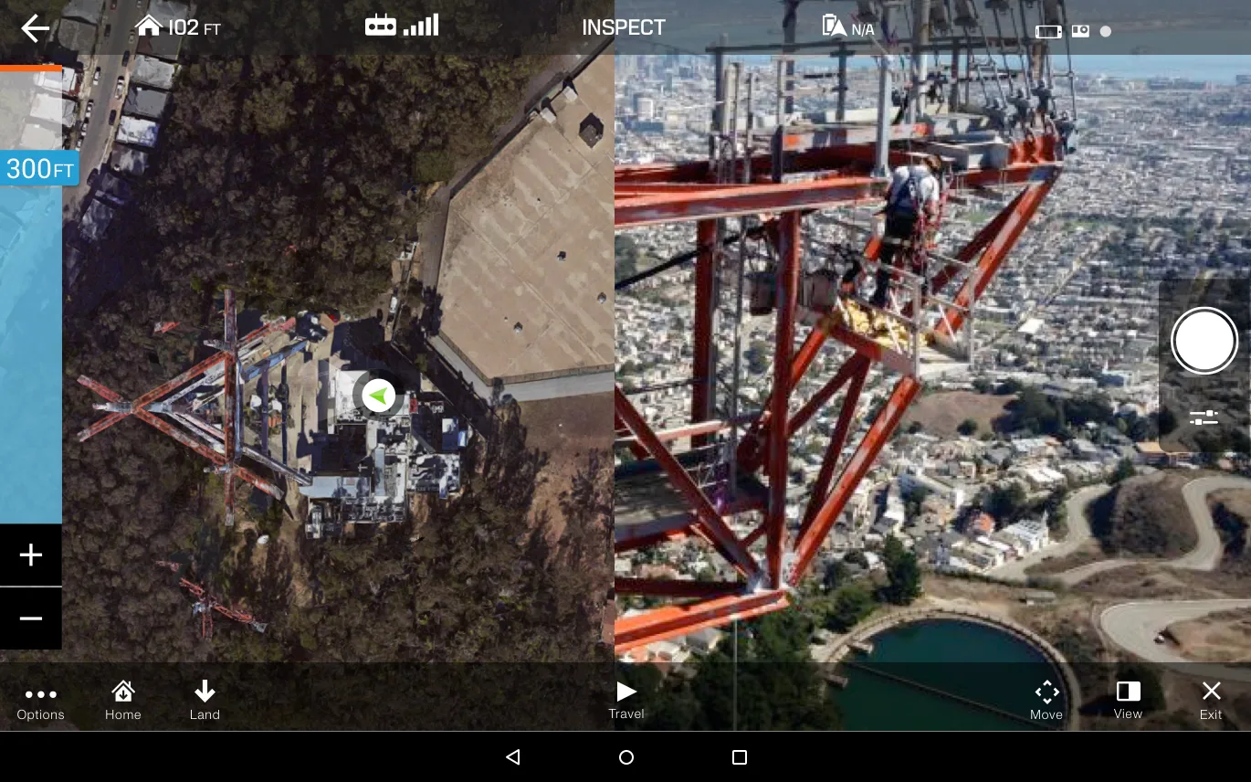
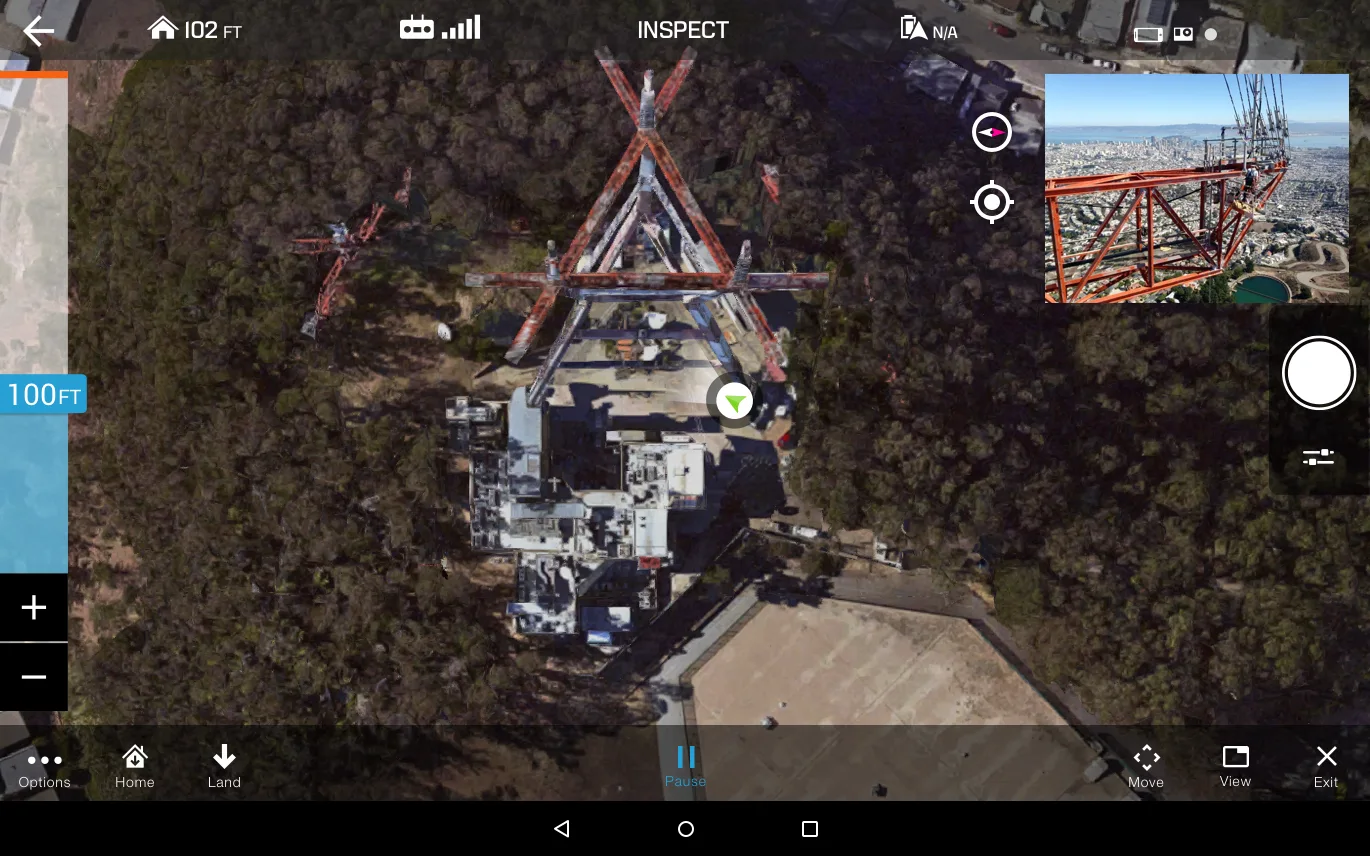
This round of changes greatly improved the feature: 95% of users reported feeling happier and safer flying, and new users felt more confident on their first flight.